- Thumbnail
- Resource ID
- f424ae64-6f6a-11e9-8d7d-000d3ab6a624
- Title
- TM-BRB_Mangroves - 2012 - 1:5000
- Date
- May 5, 2019, 2:21 p.m., Publication
- Abstract
- This dataset delineates Barbados national mangrove cover based on satellite-based mapping of Barbados mangroves . This dataset was provided in 2012.
- Edition
- --
- Owner
- gridanode
- Point of Contact
- devrsgis@gmail.com
- Purpose
- --
- Maintenance Frequency
- None
- Type
- not filled
- Restrictions
- None
- None
- License
- None
- Language
- eng
- Temporal Extent
- Start
- --
- End
- --
- Supplemental Information
- No information provided
- Data Quality
- --
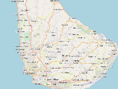
- Extent
-
- long min: -59.6443596723
- long max: -59.4606645575
- lat min: 13.0615297049
- lat max: 13.2496558756
- Spatial Reference System Identifier
- EPSG:900913
- Keywords
- no keywords
- Category
- None